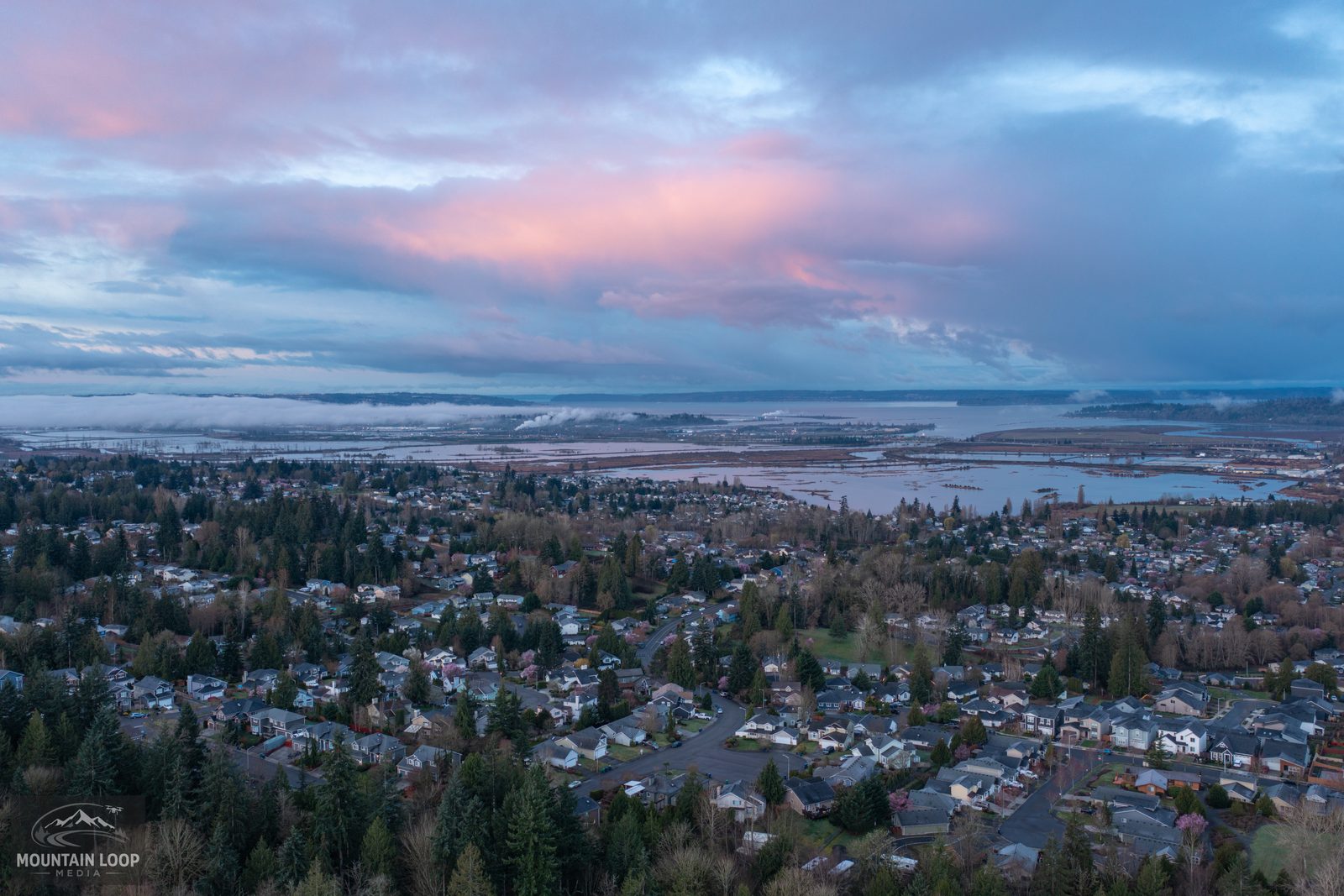

Aerial data and imagery for Western Washington
Construction mapping, progress monitoring, property documentation, real estate photography, and outdoor cinematography. Easy to book and executed to a professional standard. Fast turnaround, with deliverables in your hands in 2–3 days.
The whole picture, in one visit
From active job sites in the Puget Lowlands to the remote areas of the Cascadian woodlands, unmanned aircraft systems (UAS) seamlessly capture what ground equipment can’t.
A whole site captured in one visit, along the same flight path every time, so progress and grade changes can be measured and compared.
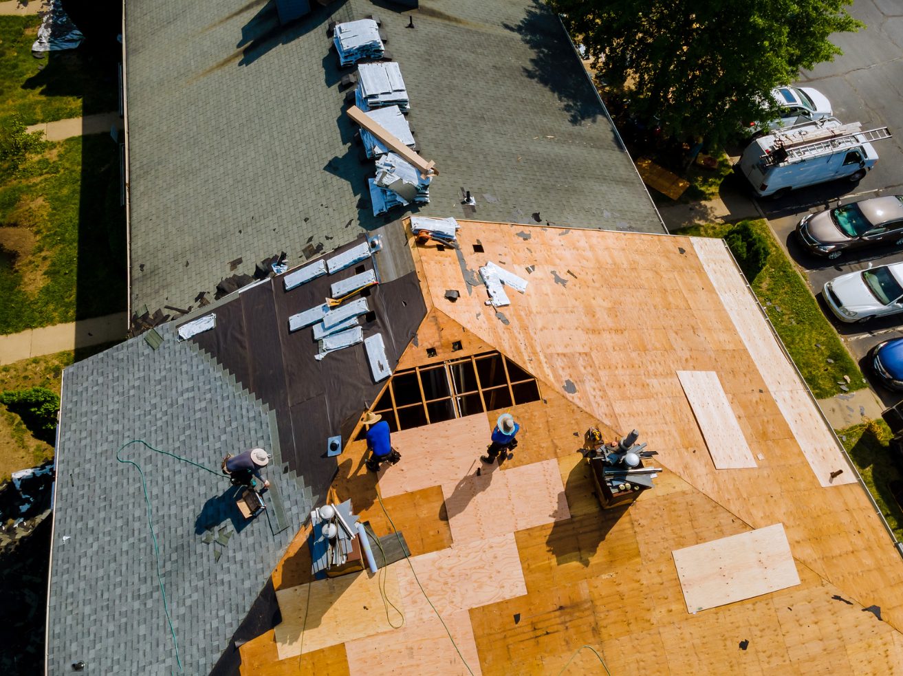
Every slope and surface recorded with no one on a ladder, a scaffold, or a wet roof, not just what one person could reach.
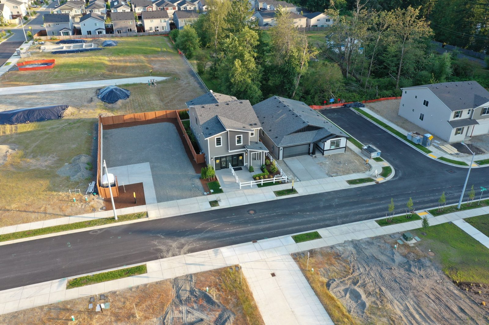
Lot size, views, and relative proximity to water, trails, roads, and landmarks: the things ground photos can’t show.
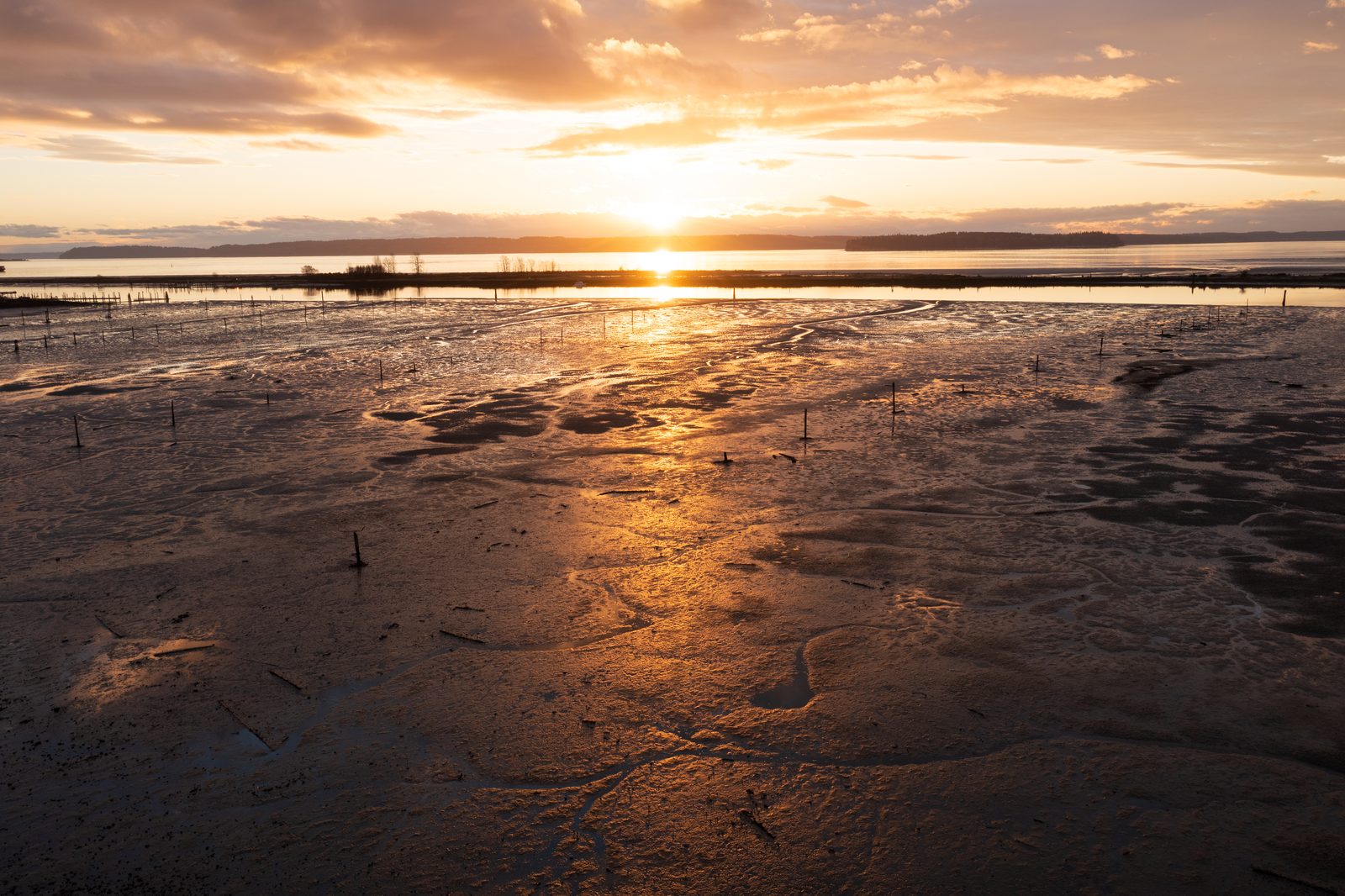
Sweeping footage that shows the full reach of a river, a ridgeline, an event, or a finished build.
Four ways to put the view from above to work
Construction progress monitoring & mapping
Keep owners, lenders, and your own team looking at the same picture of the job. I fly your site on a set schedule, along the same path every visit, and deliver a measurable map, elevation data, and a 3D model. Track progress, check grades, and settle questions with a dated record instead of someone’s memory.
Hundreds of overlapping photos become one geometrically corrected map of the site, with the lens distortion removed so distances and areas measure true. The same photos build an elevation model, contours, and a full 3D point cloud.
- Weekly, biweekly, monthly, or quarterly flights
- Distortion-free site maps you can measure on
- Elevation models, contours, and 3D point clouds
- Dated records for owner meetings, lender draws, and disputes
- Optional marketing flyover video of the project or finished build
Built around how you work
Progress records for owner meetings, lender draws, and schedule questions, plus grades and site maps for planning.
Full roof coverage before the ladder comes off the truck, organized so you can quote or file faster.
Listing aerials that show the lot, the view, and the neighborhood, ready before the listing goes live.
Marketing video and footage of places, events, and finished work that only make sense from above.
From the air over Snohomish County
One pilot, start to finish
I plan each flight around your needs, fly it, process the data, and deliver exactly what you asked for. Timely, coordinated service from one point of contact.
FAA Part 107 remote pilot with liability coverage. Proof of both on request.
Photogrammetry, mapping, and aerial documentation experience from both private consulting and government agency work.
Familiar with Snohomish County terrain, Puget Sound weather windows, and local airspace requirements.
Documentation, mapping, and photos delivered in 2–3 days, with pre-flight checklists on every job.
Three steps to your files
-
01Tell me about the site
Use the form or call. I’ll reply within one business day with a quote and available dates.
-
02I plan and fly it
Airspace authorization, weather, and site access are handled before I arrive. Most flights take under an hour on site.
-
03You get your files
Edited and processed deliverables in 2–3 days, through a download link, in the formats your software uses.
Straightforward starting rates
Final quotes depend on property size, location, and deliverables. No surprises: you’ll have the full price before I fly.
Common questions
Are you licensed and insured?
Yes. I’m an FAA Part 107 certified remote pilot and carry liability insurance. I can send proof of both before your flight.
What happens if it rains?
Rain and high wind affect both safety and image quality, so I watch the forecast closely. If conditions turn, I’ll move your flight to the next good window and keep you posted.
Can you fly near Paine Field?
Yes. Flights in controlled airspace near Paine Field and other airports are authorized through the FAA before takeoff, often through its LAANC system. I handle the authorization as part of planning.
What files will I get?
Photos as high-resolution JPEGs and video as MP4. Maps come as GeoTIFF, 3D data as point clouds (LAS) or models (OBJ), and contours as shapefile or DXF. Tell me what software you use and I’ll match it.
Is this a legal survey?
No. Mapping deliverables are for planning, progress tracking, and documentation. They don’t replace a survey by a licensed land surveyor or stamped engineering work.
How far do you travel?
I’m based in Marysville, WA and regularly fly throughout Western Washington, but farther jobs are welcome (travel will be included in your quote).
Tell me about the site
Send a few details and I’ll reply within one business day with a quote and available flight dates.


